EP52: Mitch Rawlyk - Read The Land Before You Build On It
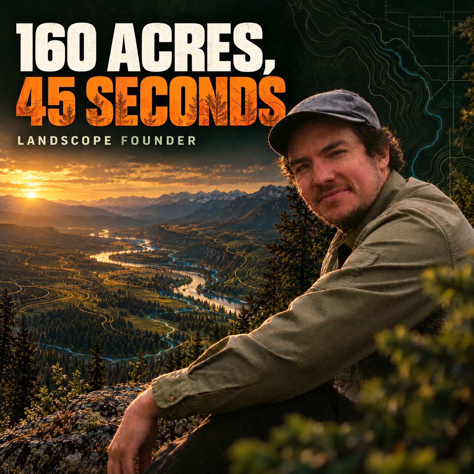
"Information is only as good as your ability to put it to productive use." — Bill Mollison, quoted by Mitch Rawlyk For almost two years, Mitch and Maddie looked at the same property listing every Saturday morning. They had talked to the realtor and were planning the site visit. A week before it, Mitch ran the drainage layer: a flow accumulation line heading straight through the house. That story is a tidy summary of everything Mitch has built. The data that could have saved a future homeowner from a flooded foundation — or worse — was always there, sitting in publicly available geospatial datasets. What was missing was any tool that made that data accessible to someone without a GIS degree, three hours of setup time, and a high tolerance for software that crashes without warning. Mitch Rawlyk is a geomorphologist, applied meteorologist, and founder of LandScope — a land intelligence platform built to close that gap. The conversation was recorded outdoors on his grandfather's farm in Alberta, the same land where Mitch first noticed, as a child, that horsetail was growing in one spot and not another, and started asking why. --- Mitch's academic path took him from an undergraduate in physical geography — geomorphology, hydrology, climatology — through a master's in applied meteorology at a university in New Zealand, where his thesis built a machine learning-based frost prediction model for vineyards. He became, in his own words, an Earth system scientist who understood how all the fragmented disciplines connected — and was frustrated that nobody was teaching those connections. His entry into the regenerative and permaculture world came through Rob Avis of Verge Permaculture, whom he contacted during the COVID lockdowns while teaching himself Python in his parents' basement. That combination — deep terrain science, software fluency, and a permaculture systems lens — eventually became LandScope. The platform takes the geospatial data that has always existed — LiDAR-derived elevation models, drainage flow accumulations, slope aspects and angles, contour lines — and makes it usable in seconds. Draw an area, and within 45 seconds you have high-resolution terrain intelligence for 160 acres: where water wants to move, which slopes face south, where the flat ground actually is, and what lies outside your property boundary that might be heading toward it. Version 2 adds 3D visualisation, collaborative annotation, cross-section tools tied to actual LiDAR accuracy, and print outputs that do not make you want to close the laptop. --- Learn more and connect: 1. LandScope — https://landscope.earth (free trial available on sign-up) 2. Mitch Rawlyk on LinkedIn — https://www.linkedin.com/in/mitchrawlyk 3. Mitch Rawlyk on Instagram — search @mitchrawlyk for field content and terrain storytelling --- If this conversation opened something up for you, here are the resources to go further: Discover more about regenerative design at Paulownia Landscape Architects: https://www.paulownia-la.com Dive into the 12 Universal Laws of Nature and unlock the secrets of harmonizing with our planet at https://www.12lawsofnature.com Fulfill your garden aspirations with expert guidance from the Garden of Your Dreams masterclass at https://www.gardenofyourdreams.com Ready to take actionable steps towards your dream garden? Book a complimentary 30-minute session with Matthieu for immediate results: https://calendly.com/garden-of-your-dreams