Skip to content
Artwork for Spatial Stack with Matt Forrest
Spatial Stack with Matt Forrest · May 27 · 41 min

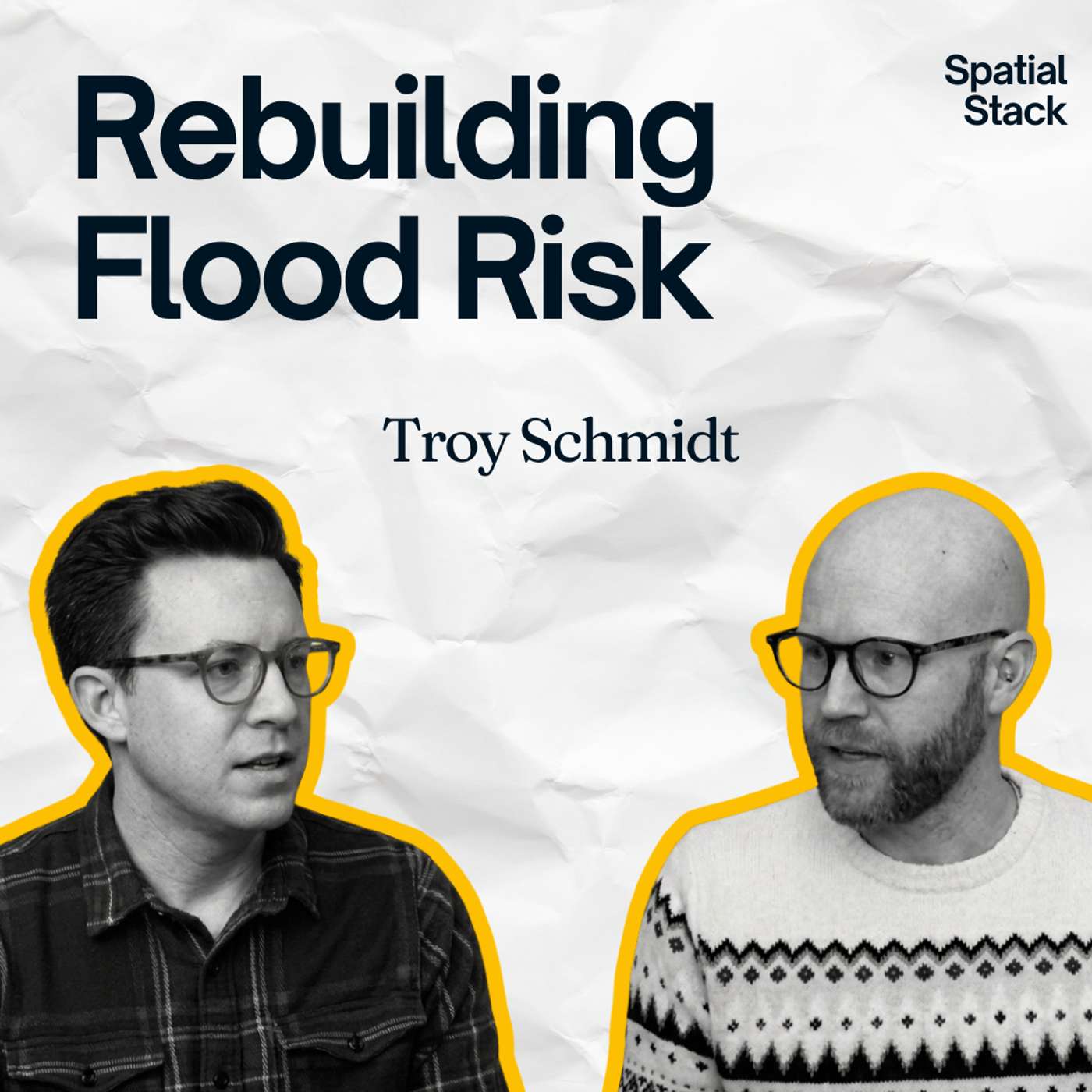
Rebuilding Climate Risk: SPHERE, DuckDB, and the Modern GIS Stack with Troy Schmidt

In this episode of the Spatial Stack, Matt sits down with Troy Schmidt, a 20-year GIS developer and the creator of SPHERE, an open-source Python package that runs FEMA's HAZUS flood risk methodology on GeoParquet and DuckDB. Troy dives into why depth damage functions are simpler than the engineering language suggests, and how the gap between the HAZUS methodology and the HAZUS software pushed him to build a Python-first alternative. He shares the moment he realized the data and the science were already public, and that the only thing missing was a modern stack to run it on. The conversation also covers the three types of flooding most people lump together (coastal, riverine, and pluvial), why pluvial risk is the gap that nobody insures, and what an open core model means for geospatial science. Finally, Troy walks through his cloud-native discovery process, from Wherobots and Earthmover webinars to DuckDB and vectorized math, and explains why turning legacy methodology into a Python package unlocks deployment patterns that were never possible before. 📊 FREE: The Modern GIS Skill Map The 5 skills that actually matter in modern GIS (and what you can stop learning). Based on a survey of 1,400+ geospatial professionals. ➡ Get the free training + PDF guide: https://forrest.nyc/go/training/ Connect with Troy Schmidt: LinkedIn: https://www.linkedin.com/in/mr-troy-schmidt/ SPHERE on GitHub: https://github.com/Niyam-Projects/sphere CHAPTERS: 00:00:00 – Intro 00:01:35 – Welcome and Troy's 20-Year GIS Journey 00:04:17 – The Risk Modeling Landscape 00:07:25 – Coastal, Riverine, and Pluvial Flooding 00:11:05 – HAZUS Methodology vs. HAZUS Software 00:16:05 – Site-Specific vs. Census Block Analysis 00:18:05 – Building SPHERE: A Python Package for Risk 00:21:25 – Cloud-Native, GeoParquet, and DuckDB 00:25:05 – Why the Methodology Was Simple All Along 00:27:05 – Discovery: Webinars, Wherobots, and the Modern Stack 00:29:35 – Spatial as a Boundary Data Type 00:32:35 – The Open Core Model and the Bridge to Modern GIS 00:38:05 – Ensemble Models and What's Next for Climate Risk 00:39:35 – Where to Find Troy and SPHERE 🚀 Join The Spatial Lab: Stop guessing at your career path. Get direct mentorship, advanced training, and a roadmap to these high-value roles inside The Spatial Lab. 👉 https://forrest.nyc/spatial-lab/ 📰 Daily modern GIS insights: https://forrest.nyc CONNECT WITH ME 📸 Instagram: https://www.instagram.com/matt_forrest/ 💼 LinkedIn: https://www.linkedin.com/in/mbforr/ 📧 Newsletter: https://forrest.nyc 🌐 Website: https://forrest.nyc

0:00-41:10

transcript

No transcript — this publisher did not publish one.

show notes

In this episode of the Spatial Stack, Matt sits down with Troy Schmidt, a 20-year GIS developer and the creator of SPHERE, an open-source Python package that runs FEMA's HAZUS flood risk methodology on GeoParquet and DuckDB.

Troy dives into why depth damage functions are simpler than the engineering language suggests, and how the gap between the HAZUS methodology and the HAZUS software pushed him to build a Python-first alternative. He shares the moment he realized the data and the science were already public, and that the only thing missing was a modern stack to run it on.

The conversation also covers the three types of flooding most people lump together (coastal, riverine, and pluvial), why pluvial risk is the gap that nobody insures, and what an open core model means for geospatial science.

Finally, Troy walks through his cloud-native discovery process, from Wherobots and Earthmover webinars to DuckDB and vectorized math, and explains why turning legacy methodology into a Python package unlocks deployment patterns that were never possible before.

📊 FREE: The Modern GIS Skill Map

The 5 skills that actually matter in modern GIS (and what you can stop learning). Based on a survey of 1,400+ geospatial professionals.

➡ Get the free training + PDF guide: https://forrest.nyc/go/training/

Connect with Troy Schmidt:
LinkedIn: https://www.linkedin.com/in/mr-troy-schmidt/
SPHERE on GitHub: https://github.com/Niyam-Projects/sphere

CHAPTERS:
00:00:00 – Intro
00:01:35 – Welcome and Troy's 20-Year GIS Journey
00:04:17 – The Risk Modeling Landscape
00:07:25 – Coastal, Riverine, and Pluvial Flooding
00:11:05 – HAZUS Methodology vs. HAZUS Software
00:16:05 – Site-Specific vs. Census Block Analysis
00:18:05 – Building SPHERE: A Python Package for Risk
00:21:25 – Cloud-Native, GeoParquet, and DuckDB
00:25:05 – Why the Methodology Was Simple All Along
00:27:05 – Discovery: Webinars, Wherobots, and the Modern Stack
00:29:35 – Spatial as a Boundary Data Type
00:32:35 – The Open Core Model and the Bridge to Modern GIS
00:38:05 – Ensemble Models and What's Next for Climate Risk
00:39:35 – Where to Find Troy and SPHERE

🚀 Join The Spatial Lab:
Stop guessing at your career path. Get direct mentorship, advanced training, and a roadmap to these high-value roles inside The Spatial Lab.
👉 https://forrest.nyc/spatial-lab/

📰 Daily modern GIS insights: https://forrest.nyc

CONNECT WITH ME
📸 Instagram:  https://www.instagram.com/matt_forrest/
💼 LinkedIn: https://www.linkedin.com/in/mbforr/
📧 Newsletter: https://forrest.nyc
🌐 Website: https://forrest.nyc

links7