Skip to content
Artwork for Energy Bytes
Energy Bytes · Aug 8, 2025 · 1 hr 7 min

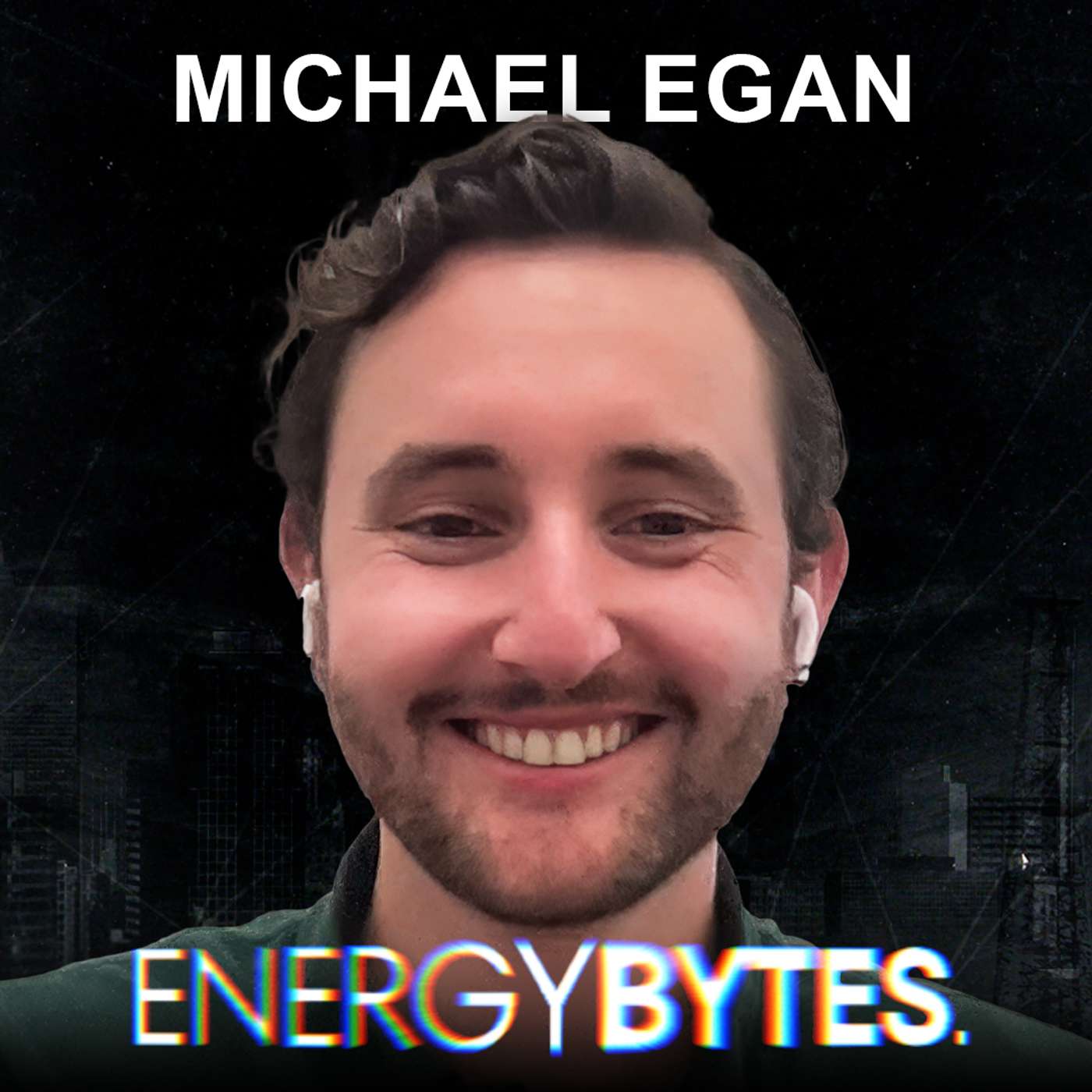
EP 70: Michael Egan from Bunting Labs

AI and GIS might not sound like the flashiest combo, until you hear what Bunting Labs is cooking up. Michael Egan breaks it down with John and Bobby: how they’re turning old-school geologic maps into clean, digital datasets, baking large language models into QGIS, and giving non-technical folks the power to ask spatial questions like pros. From landmen to transportation planners, this episode explores how tools like Mundi are cutting down analysis time and opening up the GIS world to way more people. It’s all about smarter maps, faster workflows, and making geospatial data way less intimidating. Click here to watch a video of this episode. Join the conversation shaping the future of energy. Collide is the community where oil & gas professionals connect, share insights, and solve real-world problems together. No noise. No fluff. Just the discussions that move our industry forward. Apply today at collide.io Click here to view the episode transcript. 00:00 - Intro 01:25 - Michael Egan, Bunting Labs Co-Founder 03:51 - Billion Dollar Idea in Tech 05:52 - Fencing Solutions in GIS 07:41 - Overview of Bunting Labs 09:44 - Understanding GIS Technology 12:41 - Mundi and Spatial Data Interaction 15:42 - Comparing Mundi and Bunting Labs 19:20 - Target Audience for Mundi 21:34 - Energy Use Cases in GIS 23:16 - Plat Digitizer Overview 24:51 - Primary Use Cases of Mundi 27:58 - Embedding Mundi in Applications 30:33 - Base Map Compatibility in GIS 33:00 - Maximizing QGIS Utilization 34:08 - Computer Vision and LLM Integration 37:30 - Future of WebGIS Technology 39:48 - Advancements in Computer Vision 43:20 - Self-Hosting Solutions Explained 46:20 - Dataset Iteration Techniques 48:27 - Cursor in Oil and Gas Industry 53:36 - Cursor Applications in GIS Industry 01:00:03 - Exploring the Tech Stack 01:02:42 - Choosing a Cloud Provider 01:03:41 - Non-OpenAI Model Preferences 01:04:16 - Favorite Vacation Destinations 01:04:45 - YC Company Highlights 01:06:44 - Where to Find Michael Egan 01:07:50 - Outro https://twitter.com/collide_io https://www.tiktok.com/@collide.io https://www.facebook.com/collide.io https://www.instagram.com/collide.io https://www.youtube.com/@collide_io https://bsky.app/profile/digitalwildcatters.bsky.social https://www.linkedin.com/company/collide-digital-wildcatters

0:00-1:07:59

transcript

No transcript — this publisher did not publish one.

show notes

AI and GIS might not sound like the flashiest combo, until you hear what Bunting Labs is cooking up. Michael Egan breaks it down with John and Bobby: how they’re turning old-school geologic maps into clean, digital datasets, baking large language models into QGIS, and giving non-technical folks the power to ask spatial questions like pros. From landmen to transportation planners, this episode explores how tools like Mundi are cutting down analysis time and opening up the GIS world to way more people. It’s all about smarter maps, faster workflows, and making geospatial data way less intimidating.

Click here to watch a video of this episode.


Join the conversation shaping the future of energy.
Collide is the community where oil & gas professionals connect, share insights, and solve real-world problems together. No noise. No fluff. Just the discussions that move our industry forward.
Apply today at collide.io


Click here to view the episode transcript.

00:00 - Intro
01:25 - Michael Egan, Bunting Labs Co-Founder
03:51 - Billion Dollar Idea in Tech
05:52 - Fencing Solutions in GIS
07:41 - Overview of Bunting Labs
09:44 - Understanding GIS Technology
12:41 - Mundi and Spatial Data Interaction
15:42 - Comparing Mundi and Bunting Labs
19:20 - Target Audience for Mundi
21:34 - Energy Use Cases in GIS
23:16 - Plat Digitizer Overview
24:51 - Primary Use Cases of Mundi
27:58 - Embedding Mundi in Applications
30:33 - Base Map Compatibility in GIS
33:00 - Maximizing QGIS Utilization
34:08 - Computer Vision and LLM Integration
37:30 - Future of WebGIS Technology
39:48 - Advancements in Computer Vision
43:20 - Self-Hosting Solutions Explained
46:20 - Dataset Iteration Techniques
48:27 - Cursor in Oil and Gas Industry
53:36 - Cursor Applications in GIS Industry
01:00:03 - Exploring the Tech Stack
01:02:42 - Choosing a Cloud Provider
01:03:41 - Non-OpenAI Model Preferences
01:04:16 - Favorite Vacation Destinations
01:04:45 - YC Company Highlights
01:06:44 - Where to Find Michael Egan
01:07:50 - Outro

https://twitter.com/collide_io

https://www.tiktok.com/@collide.io

https://www.facebook.com/collide.io

https://www.instagram.com/collide.io

https://www.youtube.com/@collide_io

https://bsky.app/profile/digitalwildcatters.bsky.social

https://www.linkedin.com/company/collide-digital-wildcatters
links3